Latitude and longitude play an important role in identifying any location on the Earth. This will be your digital address to locate a location of friend, a landmark, and any tools for GPS issues.
Learning to use them today in this tech-driven world can save time and increase accuracy. This tutorial will demonstrate how to find a location with longitude and latitude coordinates, using accessible tools such as Google Maps and Apple Maps.
What Are Latitude and Longitude?
Latitudes and longitudes are numerical values used to reference the region of any place on Earth. Longitude is the distance to the east or west of the Prime Meridian, and conversely, latitude runs north or south of the equatorial line. These are counted in degrees (degrees).
An example is New York City of the USA, which has a latitude of approximately 40.7128 and a longitude of 74.0060. A combination of those two values can help the GPS systems and mapping devices to support accurate locations on Earth.
How to Find Location by Latitude and Longitude
Finding a location using latitude and longitude is simpler than ever, thanks to digital maps and online tools. Whether you’re exploring, tracking, or just curious, here are the best latitude and longitude finder methods to decode these coordinates into real-world locations.
Use Google Maps
One of the easiest and most valid maps to find locations with the use of coordinates is Google Maps. It is compatible with decimal degrees and degrees-minutes-seconds. The platform provides satellite images, routes, adjacent points of interest, and street views, which makes it an ideal location to navigate or conduct research. It helps users deal with a visual and interactive means of interpreting raw coordinates.
Steps –
- Go to Google Maps.
- Enter coordinates in the search bar.
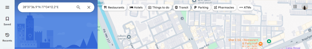
- Press Enter.
- The map will zoom to the location and drop a pin.
With Google Earth
Google Earth provides a three-dimensional representation of the terrain on Earth, and one can use it to find coordinates accurately. It is perfect to discover visually and learn about the landscapes.
It is useful to the user because of the level of detail that the images have in terms of satellite images, historical images, and geographical information, which is quite useful in research, travel, and education.
Steps –
- Download or open Google Earth.
- Use the search bar to enter coordinates.
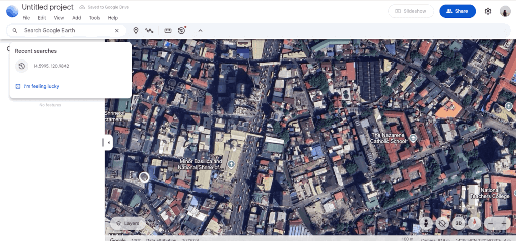
- Hit Enter.
- The globe will rotate and zoom into the exact location.
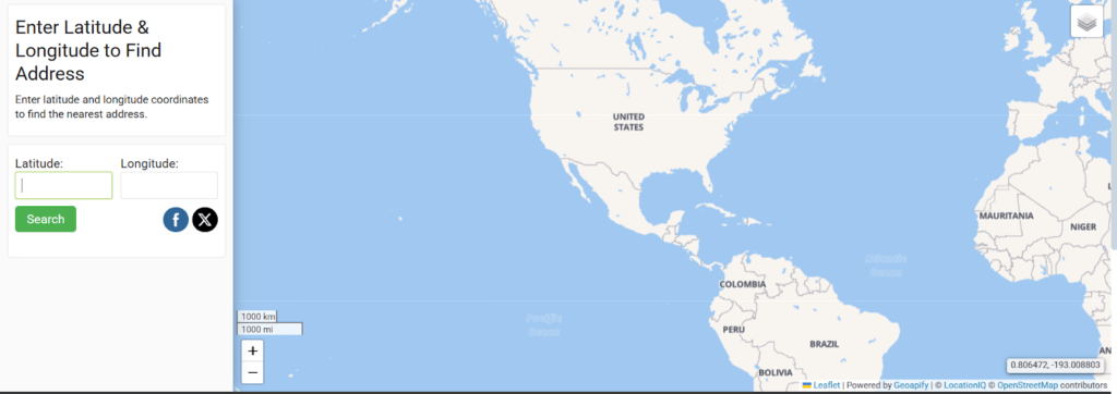
Use GPS coordinates converter
Online converters are the best in case you need to validate or change different coordinate forms. Sites such as GPS-Coordinates and LatLongData are free to use and convert, and display location, and even do a reverse search of a given location.
It is a tool that you can use latitude and longitude to view the location on a map. It is also possible to translate an address to coordinates. This is useful in real-time checks or reverse lookups, or embedding the location data into websites. Convenient interface and immediate response ensure that it is friendly to everyone.
Steps –
- Visit the site.
- Enter latitude and longitude in the search box.
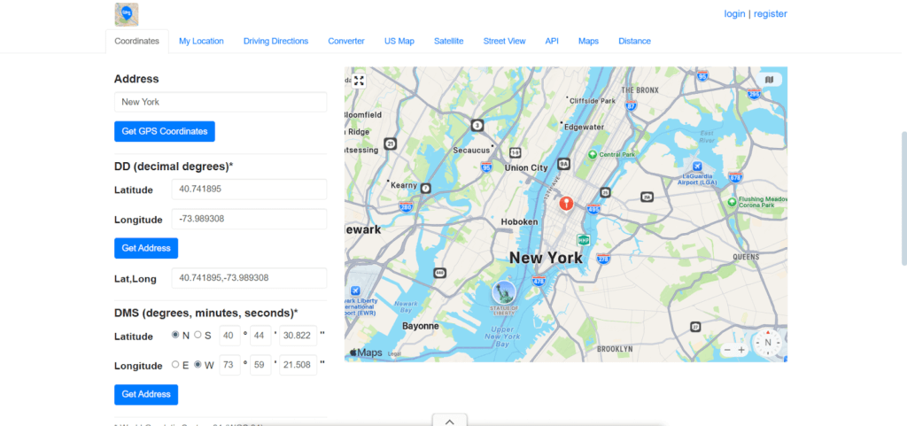
- Click “Get Address.”
- The map will highlight the location and display the address info.
LatLongData provides input and search facilities for latitudes and longitudes, and other information such as elevation. It is useful to developers, real estate agencies, and educational institutions that require either map visualizations or conversion. It is useful in that it offers the option of batch look-up and map integration ability.
Steps –
- Go to the link.
- Input your coordinates.
- Click “Find Address.”
- Get visual and text-based results instantly.
Via Apple Maps
Apple Maps offers Apple device users a sleek interface and native integration. It supports coordinate searches and shows directions, traffic, and nearby amenities. It benefits iPhone users by syncing with contacts, Siri, and location sharing for a seamless map experience.
Steps –
- Open Apple Maps.
- Tap the search bar and enter coordinates.
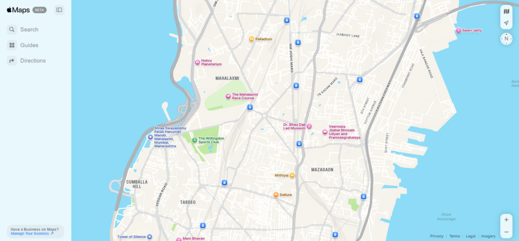
- Hit the Search button.
- A pin will mark the exact spot on the map.
From Bing Maps
Bing Maps is Microsoft’s alternative with street view and aerial photos. It also promotes coordinated searches as well as walking, transit, and driving directions. It is useful to users in terms of real-time information on traffic, business listings that might be of use when using the desktop, and the ability to connect with Microsoft tools.
Steps –
- Go to Bing Maps.
- Type coordinates in the search bar.
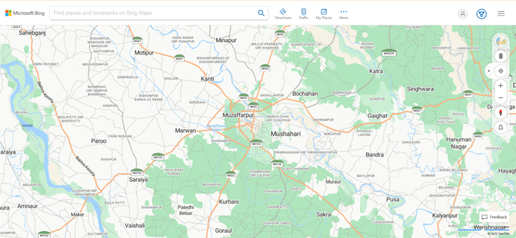
- Press Enter.
- The location will be displayed on the map with details.
Alternative Ways to Find a Location Online
We do not need to enter coordinates directly into every location. Finding out where the photo was taken, tracking a phone, and through social media such as WhatsApp with live locations can be done creatively and using technology. Let’s explore these alternatives for longitude and latitude lookup.
From a Photo
Most Digital photographs have EXIF data, and this can sometimes include a GPS coordinate. Such pictures can be posted to programs such as Pic2Map to retrieve location information. This assists the traveller, the reporter, and security agents to lay their concerns about where a picture was captured.
Steps –
- Upload the image to an EXIF reader tool.
- Review the GPS coordinates.
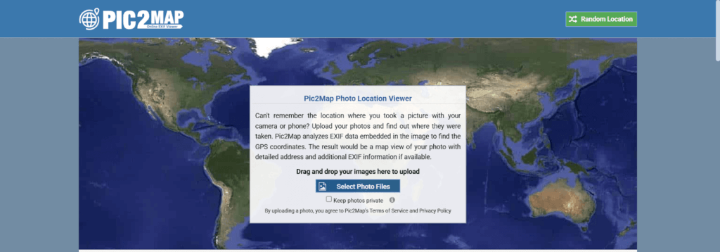
- Paste them into Google Maps.
- View the photo’s location.
With GPS Tracker
Another means that you can find a location is through GPS trackers. A number of sites offer this service, and Cellphone Location is the best! Through this site, one can identify the location through GPS signal and cell tower triangulation. It can be used to track a lost phone or someone you care about. The benefits it poses to users include its real-time update, privacy-adhering tracking, and its safety provisions on devices.
Steps –
- Go to the website.
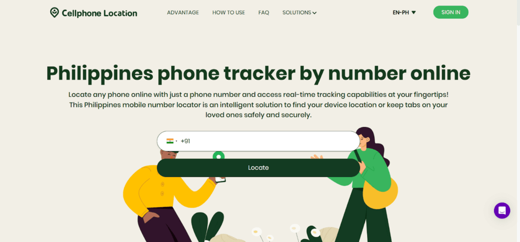
- Enter the phone number and then provide your email address to receive the details.
- Allow GPS permission (if applicable).
- Get the phone’s live location in your email.
Via WhatsApp Location Sharing
WhatsApp enables its users to share their current place of stay or permanent location. It is best in situations where friends have to meet, directions have to be shared, or safety is required. It is of benefit to users since they will have encrypted and precise location data that changes as they move.
Steps –
- Open chat on WhatsApp.
- Tap the pin icon.
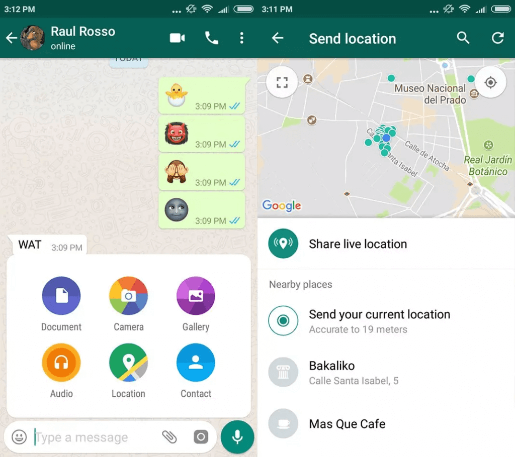
- Choose Location, then select Share Live Location.
- The recipient will see your real-time movements on the map.
Use Cases for Latitude and Longitude
Coordinates have a variety of applications in the real world, although they are quite technical. Whether traveling or on a life-saving mission, the latitude and longitude have become essential tool in all industries.
- Travel and adventure mapping
Latitude and longitude assist travelers in getting accurate routes, exploring hidden treasures, and navigating an unknown land. They allow exploring and being adventurous, without any fear of dangerous locations.
- Emergency and rescue
During some disaster cases, coordinates can be used to reunite the first responders with the victims or even with the affected areas. Such quick identification of places can save lives in floods, earthquakes, and other crises.
- Drone footage and geotagging
Coordinates ensure drone images and videos are tagged with exact location data. This is vital for mapping, journalism, wildlife monitoring, and environmental studies requiring location-specific documentation.
- Property boundaries and land surveying
Surveyors use coordinates to mark legal property lines and prevent disputes. Accurate positioning ensures compliance with zoning laws and helps in land development, construction, and title verification.
- Shipping and logistics
Coordinates enable real-time tracking of shipments and vehicles. They help optimize delivery routes, reduce delays, and increase operational efficiency for transportation, courier, and supply chain companies worldwide.
FAQ
- How do I find an exact address with latitude and longitude?
An accurate address can be found by just inserting the latitude and longitude coordinates in Google Maps. Based on the address selected by the user, the platform will pinpoint the location on the map and show the address or an approximate match. This approach is effective worldwide and helps to find new or distant places in the shortest time possible.
- How to find location using UTM coordinates?
UTM (Universal Transverse Mercator) coordinates should be transformed into decimal degrees in order to be used by most mapping tools. Use a site such as GeoPlaner and enter the UTM codes, and translate them into latitude and longitude. The next step involves using Google Maps or other find location tools on the map.
- How accurate is Google Maps’ latitude and longitude?
Google Maps offers very high accuracy and is generally within 5-10 meters of accuracy in cities because of GPS, Wi-Fi signals, and cell towers. The precision could slightly go down in rural or remote localities based on the availability of signals. It has been one of the most trusted means of detecting precise location and live navigation around the globe.
Conclusion
Locating a place by latitude and longitude is easier than you think. With the right tools—Google Maps, GPS converters, or even messaging apps—you can decode any coordinates quickly. Whether for safety, curiosity, or navigation, knowing how to read and use geographic data is a modern skill worth having. Try it today and unlock the world—one coordinate at a time.